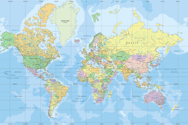
What type of map projection is commonly used for world maps, where lines of latitude and longitude intersect at right angles?
A) Mollweide
B) Robinson
C) Lambert
D) Mercator
Answer:
D) Mercator
The Mercator Projection always has the Equator as its Standard Parallel. Its construction is such that the lines of longitude and latitude are at right angles to each other – this means that a world map is always a rectangle.

No comments:
Post a Comment